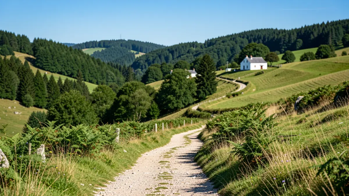
Unveiled last Friday in Okondo, this project aims to showcase the region's heritage through a network of marked and digitized hiking trails. The initiative structures the trekking offer into five routes: one urban and four in natural settings, spread across the region's five municipalities: Laudio, Amurrio, Ayala, Artziniega, and Okondo.
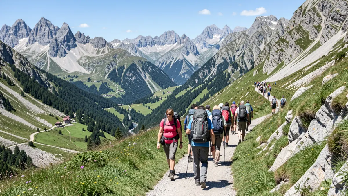
Collectively, the routes span over 45 kilometers and feature 1,625 meters of cumulative elevation gain, providing options with varying difficulty levels to suit different visitor profiles. Each route combines nature, heritage, and local life.
The route in Laudio (8.5 km) is a medium-difficulty circular mountain trail. Those in Ayala (10 km) and Artziniega (9.3 km) are similar. The Amurrio route is a 5-kilometer urban circular trail, accessible to everyone.
The most demanding route is in Okondo, covering 12 kilometers starting from Villachica. It ascends to the summit of Bikirrio, passing through forest areas and sites like the hermitage of San Sebastián de Otaola or the palace of La Cuadra, and is intended for those accustomed to more challenging hikes.
The project is notable for its high-quality, homogeneous signage, with over 160 elements installed and existing signs restored. It also incorporates digital tools with interactive QR codes, providing access to practical information and interpretive content about the routes and their surroundings.
“"The Aiaraldea Trekking project reflects our commitment to sustainable and organized tourism, allowing discovery of the territory with respect for the environment and valuing our landscapes, heritage, and municipalities."
Through this initiative, Iñigo Pinedo, president of the Aiaraldea Association, aims to strengthen the commitment to a sustainable active tourism model, emphasizing respect for the environment and the valorization of the territory's natural and cultural resources.