Beasain Town Hall has taken a significant step towards its goal of digitizing the management of the municipality's rural lands. The fourth phase of the initiative, developed with the support of the Gipuzkoa Provincial Council and the company Geograma, has now commenced. This phase will involve the digitization and detailed demarcation of land plots within polygons 12, 13, 14, and 17.
This project, launched in 2023, has already achieved a major milestone, bringing Beasain closer to the definitive and digitized completion of its mountain and rural land boundaries. The Town Hall has convened informational meetings with affected landowners today to convey the process details and request their essential collaboration. A total of 82 landowners attended the informative sessions presented by Town Hall representatives and Geograma technicians.
Due to the extensive area of rural land in the municipality of Beasain, the work has been divided into distinct phases: the first phase demarcated the plots of polygon 8; the second digitized those in polygons 3, 4, 5, and 6; the third carried out measurements and demarcations in polygons 1, 2, 9, 10, and 11; and now, in the fourth phase, work will focus on polygons 12, 13, 14, and 17. The final phase, the fifth, will complete the full digitization, encompassing polygons 7, 15, and 16.
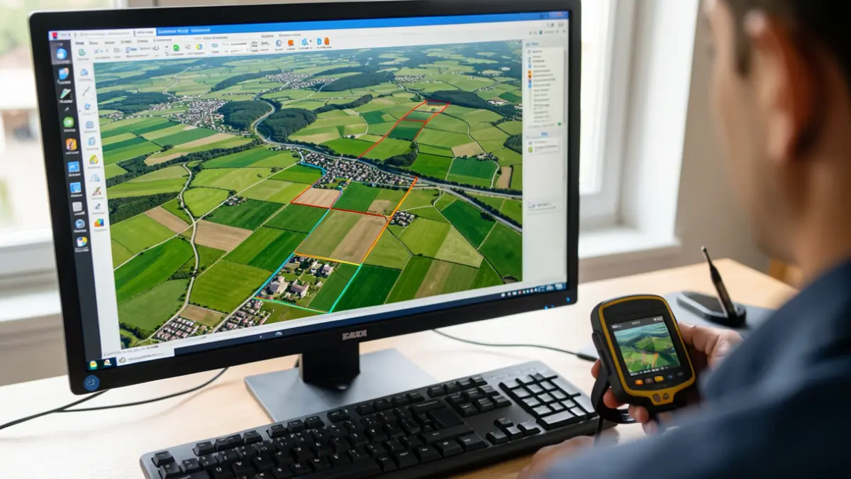
Through this project, each boundary and marker is assigned precise GPS coordinates, correcting any potential errors in cadastral data and ensuring transparent public and private information for the future. Landowner cooperation is crucial for a precise and effective topographical process, requiring them to agree on boundaries with neighbors and keep the plots and their markers visible and clear.
Although the Town Hall aimed to reach all 135 landowners in this phase, it was not possible to contact everyone. Therefore, those who could not attend the meeting or did not receive the invitation are requested to contact the Town Hall's Territory department. A call is also made to those who attended but did not collect their information booklet to visit the Town Hall to retrieve it.
This digital demarcation project offers numerous advantages: for the Town Hall, it enhances legal security, prevents property disputes, and streamlines administrative procedures. For landowners, it provides certainty regarding their properties and significantly facilitates transactions such as sales, inheritance divisions, and applications for agricultural subsidies.