After several years of significant research work, and in compliance with, among others, the Regulation on Assets of Local Entities (1986) and the Provincial Regulation on Roads and Paths of Gipuzkoa (2006), the City Council processed the initial approval of the Errenteria Public Road Network Inventory in the June plenary session.
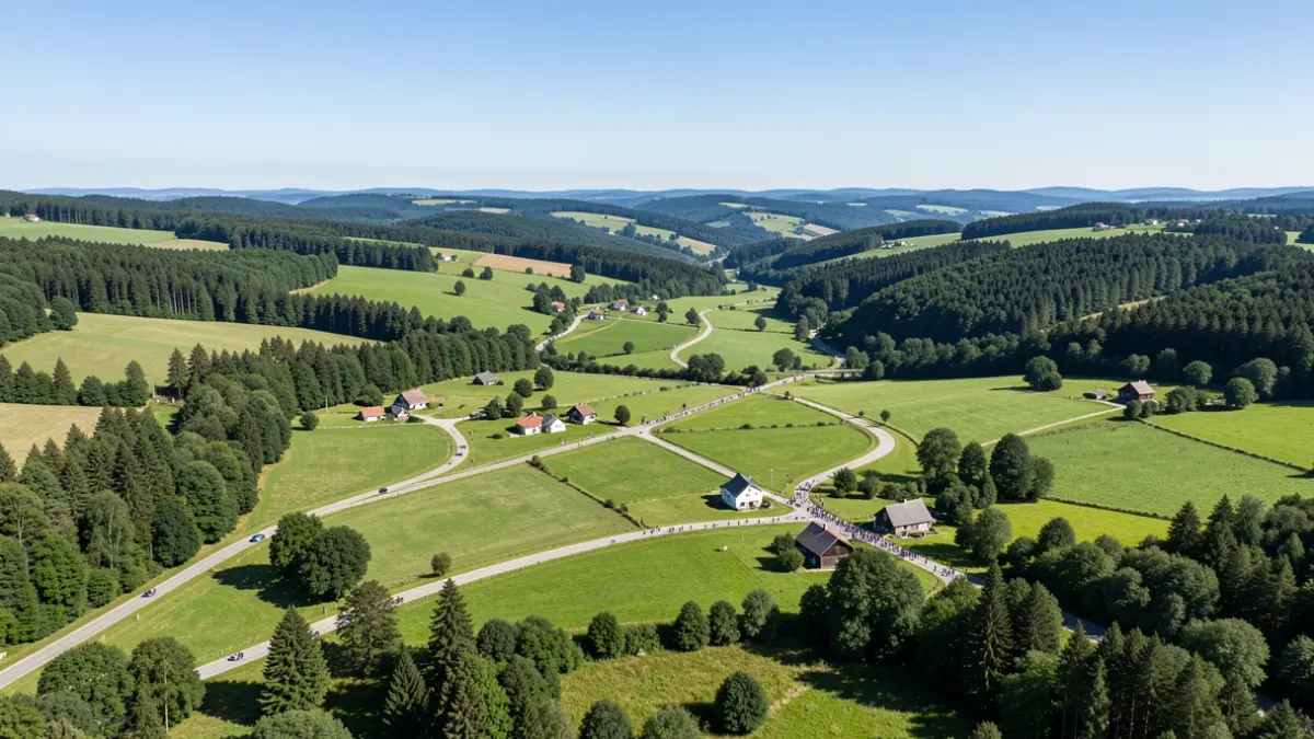
The importance of protecting this public heritage should be emphasized. Currently, 118 kilometers of public roads have been inventoried within the municipality of Errenteria, covering a total of nearly 3,200 hectares. This municipal network guarantees public and universal access to mountains, pastures, rivers, protected areas, and numerous lands, thus allowing access to farmhouses, agricultural holdings, leisure areas, forests, springs, and so on.
An in-depth analysis of all areas and environments within the municipality has been carried out, including, among others, Artamugarri, Listorreta, Añarbe, Txoritokieta, Egieder, Floreaga, Larreaundi, Zamalbide, Isatse, and Aizpitarte.
Thus, the City Council has opened the period for public display, consultation, and submission of objections to the inventory document, which will conclude on September 10th. Interested parties can examine the document on the announcement board of the website errenteria.eus.
Furthermore, they may submit relevant allegations telematically, through the ZU! attention service, or in the other ways and places provided for by Law 39/2015.