A content creator specializing in routes and nature has shared a hiking proposal for Mount Muñarrikolanda, notable for its accessibility and historical value. Just 15 minutes from Bilbao, this spot allows for a complete disconnection. The route is designed for an estimated 2 hours, making it an ideal plan for groups or families looking for a nature activity without extensive travel.
The meeting and parking point is located at the Berango football field car park, an especially easy location for those arriving by private vehicle. The creator states, “It starts at the Berango field car park, it’s about 5 kilometers at a very easy level.” Once the car is left, the route begins by following the main road. After advancing barely 40 meters, visitors should turn left and continue straight until they find a stop sign. At that point, it is necessary to turn left again and, immediately, take the path that starts to the right.
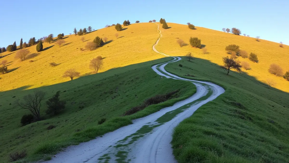
This first section serves as a warm-up before coming into contact with the natural terrain. According to the video's instructions, after that last turn, one must turn right once more to reach the municipal cemetery. It is from this architectural landmark that the asphalt disappears, giving way to the unpaved path, marking the real beginning of the ascent. Throughout this process, orientation should not be a problem for visitors, as “the path is quite well indicated” and the flow of people is usually low. In fact, the author emphasizes that “we did not encounter anyone during the walk,” which further reinforces the appeal of this trail compared to other more crowded routes.
“"Once at the top, I recommend getting lost in the bunkers and exploring a bit."
After approximately 15 minutes of moderate uphill walking, a detour to the left appears. This specific path leads directly to the Civil War bunkers, one of the area's greatest historical attractions. The creator suggests that “once at the top, I recommend getting lost in the bunkers and exploring a bit,” indicating that these remains are “right next to” the mountain's summit.
The summit of Muñarrikolanda, located at an altitude of 256 meters, offers a privileged panoramic view of the Uribe Kosta region. For the descent, the recommendation is to return exactly by the same path used for the ascent. As a culmination to the route, the author proposes a classic local social plan, urging hikers to take advantage of the proximity of the La Palmera brewery for a drink before returning home.