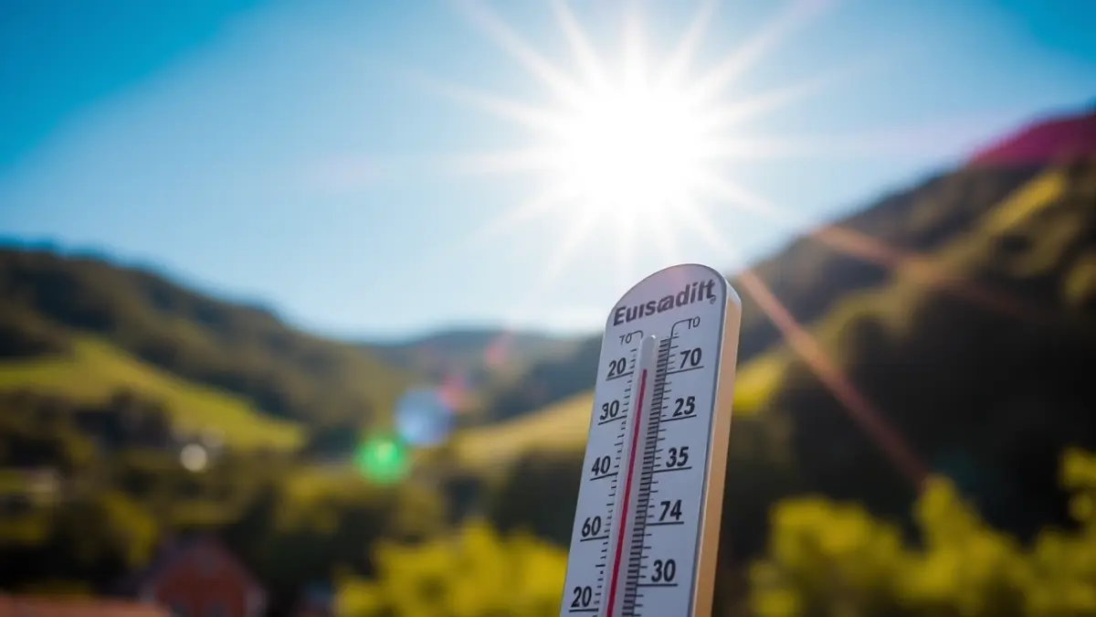
Summer weather is returning to Gipuzkoa this week, according to forecasts from the State Meteorological Agency (Aemet) and Euskalmet. An «extraordinarily warm» subtropical air mass will cause temperatures to rise across much of the peninsula, with a particular impact on the north. This weather, more typical of summer than spring, will persist until the end of the week, when temperatures are expected to moderate again.
In the capital of Gipuzkoa, both agencies predict maximums of up to 28-30 degrees for Tuesday. Aemet warns that in the coming days, temperatures could «exceed the highest recorded between 1991-2020». A significant rise in temperatures is expected in Gipuzkoa, especially inland, where they will approach 30 degrees. In the afternoon, from six o'clock onwards, thunderstorms are not ruled out, moving towards the sea.
On Wednesday, temperatures are expected to moderate. The weather will be sunnier, with medium and high clouds and some haze. The wind will gradually shift from south to west and finally to north, which will affect temperatures: they will drop in the Cantabrian area, especially on the coast, where they will be around 20 degrees, while inland there will be no significant variations. At night, minimums will be around 10-11 degrees.
On Thursday, thermometers will rise again, reaching 29 degrees inland and 26 degrees on the coast. At night, temperatures will be between 14 and 15 degrees. Although these will not be tropical nights like those experienced in the first week of April, they will be less cool than the previous ones.
Looking ahead to the weekend, a cloudier sky and moderate temperatures are forecast, more typical for this time of year.