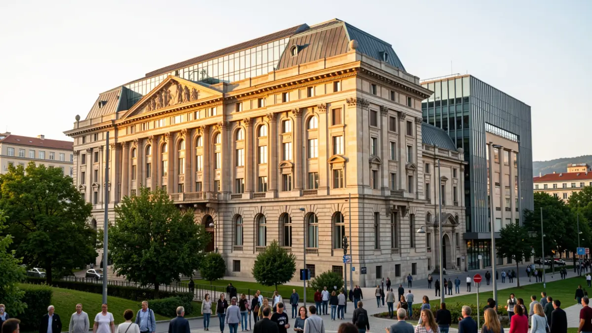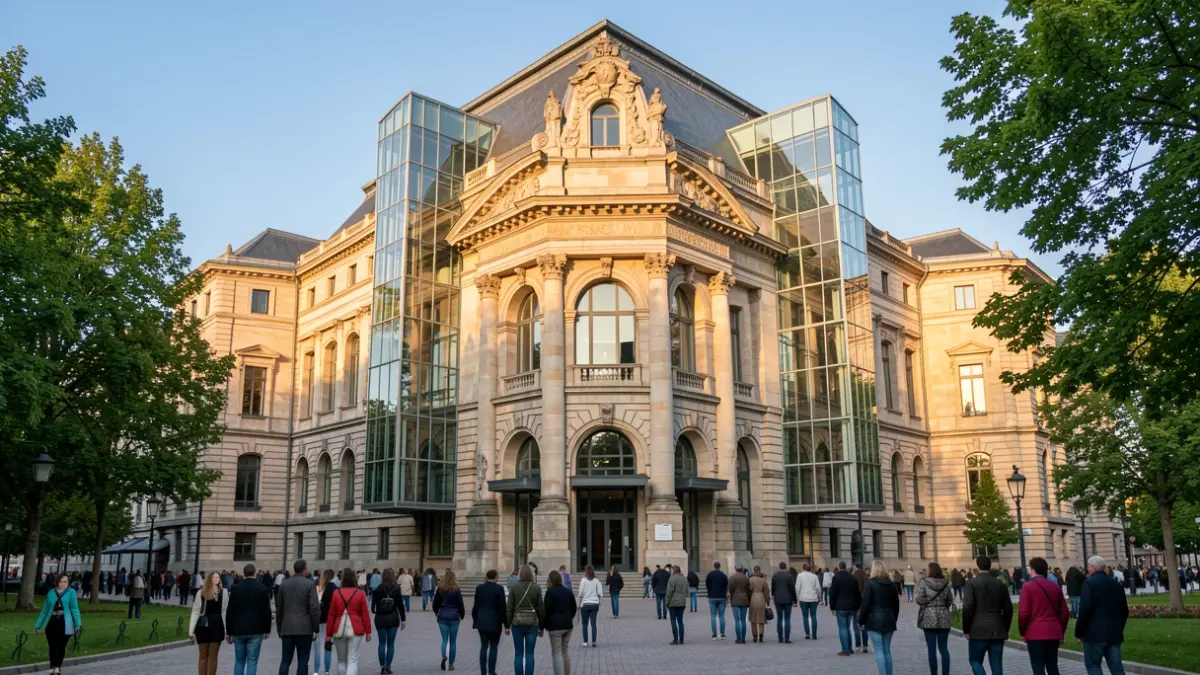
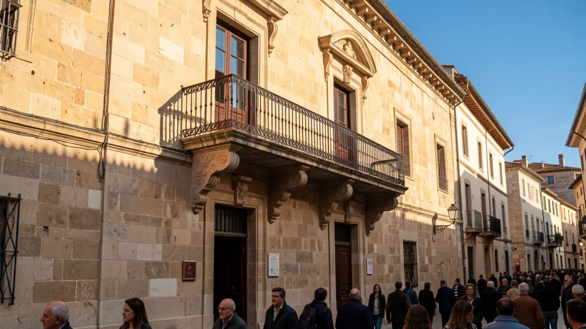
Through this platform, users can explore the interiors of landmarks such as the University of Oñati, San Miguel Parish Church, Bidaurreta Monastery, Txokolateixia, and the San Miguel Mill. The technology grants access to areas typically closed to the public, including the monastery cloister and the church bell tower.
Municipal representatives highlighted that the project aims to bring heritage closer to residents and visitors through innovation. Beyond the main buildings, the map provides information on the Town Hall, the Lezarraga, Antia, and Madinabeitia palaces, Zumeltzegi Tower, and Santa Marina Square.
Regarding natural sites, the system enables virtual visits to the Arantzazu Sanctuary and provides details on the Arrikrutz Caves and the Aizkorri-Aratz Natural Park. The tool is currently available on the turismoa.oñati.eus website.