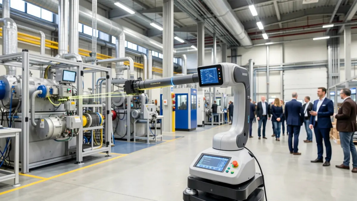
Factories are in constant flux, but their plans often remain outdated, leading to issues like machinery collisions or costly repair processes. Geograma, an Alava-based company and member of the NavPro group, digitizes industrial facilities using 3D laser scanning to create an accurate geometric model of the real-world situation.
The service combines static 3D laser scanning and dynamic capture for high-precision tasks and large spaces. Measurements are taken contactlessly and without interrupting plant operations, avoiding manual errors and repeated site visits. Sergio Jorrín, CEO of Geograma, notes that an entire area can typically be digitized within 24 hours.
Unlike traditional BIM methodology, Geograma produces a functional, precise, and internally referenced 3D model tailored for users like facility managers, innovation departments, or engineers. The precise positioning of each machine relative to others allows for designing reforms, analyzing interferences, and verifying tolerances from the office.
The CEO explains that 3D laser scanning yields a photorealistic model, akin to Google Maps but with the added capability of taking measurements and projecting 3D models directly onto the images.
All information can be integrated into the GeoCassini web platform, providing access to the 3D model, an online navigable point cloud, and 360º images from computers, mobiles, and tablets, ensuring plant information is always available.
Geograma emphasizes its role in prescribing, capturing, integrating, and operating geometric and spatial data, always leaving engineering and decision-making to the client.
A notable project involved digitizing three paper mills for Orloga SA in Lleida, Burgos, and Tudela without production downtime. Over 3,600 m² were captured across nearly 300 scans.
Pablo Amunarriz, CEO of Orloga S.A., states that this collaboration has provided a precise and reliable digital representation of the facilities, essential for efficiently planning interventions with minimal impact on daily operations.
In the Industry 4.0 model, data—including geographic and spatial—is central. Through this service, Geograma offers a reliable data layer for industrial companies in the Basque Country, strengthening their digitalization and competitiveness.
The SPRI Group enables Basque companies to share news about their activities and participate in initiatives like "Zutaz mintzo gara," as well as access support and service programs.