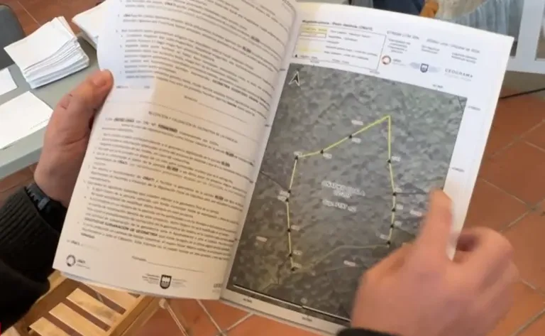
As part of the process initiated in 2024, this year the digitization of land parcel boundaries for polygons 13 and 14 has been completed. Owners of these 434 plots, covering nearly 500 hectares in the Olabarrieta neighborhood, approximately 100 individuals, can collect the documentation next Monday and Tuesday. Distribution will take place from 9:30 AM to 2:00 PM and from 3:00 PM to 5:00 PM at the Santa Ana hall.
The brochures, compiled by the company Geograma with the assistance of landowners, include maps and coordinates of the land boundaries and markers. Each owner will find a topographic map of their plots, with all relevant markers and points reflected. In case of any discrepancies with the received documentation, there will be a 30-day period to submit written claims at the City Council's HAZ (Citizen Attention) office. Geograma will analyze and resolve these claims.
Those who wish to obtain the information in digital format, in addition to paper, can do so by making the corresponding request. Unclaimed brochures will be taken to the HAZ office at the City Council and will be available until November 25th. For further information, Geograma can be contacted at 945 041 064.
After the brochures are distributed and the claims period ends, the work report will be sent to the Provincial Council's Treasury Department to update the cadastral data, at least in cases where an agreement has been reached.
Additionally, the City Council has initiated the boundary delimitation and digitization work for polygon 15. Geograma's was the sole bid received, and the contract has been awarded to them for 47,282 euros, to be completed within 12 months, with a municipal maximum price of 5,254 euros. Polygon 15 encompasses plots in Olabarrieta and Murgia, covering 457 hectares and 355 parcels.