With summer holidays just around the corner, Gipuzkoa is experiencing a waterlogged prelude. Intense showers arrived in the territory this Sunday and are expected to continue until early Monday morning, before subsiding mid-week. Following a heatwave with temperatures exceeding forty degrees, the thermometer has offered some relief in recent hours, dropping below twenty degrees for the first time in days.
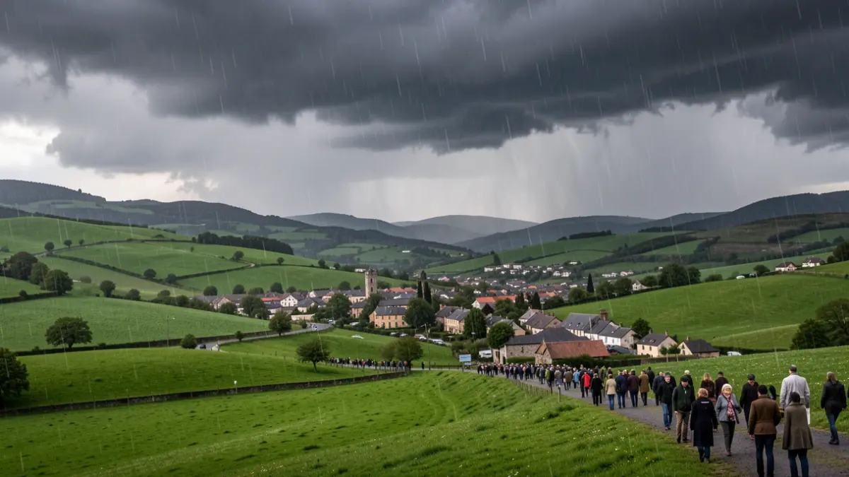
Euskalmet's forecasts have largely come true in Gipuzkoa. Heavy precipitation began on Sunday afternoon, particularly in inland areas, and will persist past midnight, with potential accumulations of over 15 l/m² in the form of thunderstorms. Additionally, there's a possibility of hail or strong wind gusts exceeding 60 kilometers per hour accompanying the rain.
The territory is expected to wake up cloudy next week, with potential morning mist and fog. On Monday morning, forecasts indicate a weakening of the rains that began on Sunday, with them gradually subsiding as midday approaches. Temperatures will see a general decline, most noticeably on Tuesday, with highs of 22 ºC and lows of 16 degrees in some inland areas like Zumarraga and Beasain, and even 15 ºC in Zegama.
However, this temperature decrease is expected to be temporary. Towards the end of next week, temperatures are predicted to rise again, hovering around 30 degrees in San Sebastián and potentially exceeding this mark in the interior of Gipuzkoa. Until then, rain is expected to be recurrent and could affect the travel plans of many residents starting their holidays on Wednesday, coinciding with the beginning of July. Rain is anticipated to repeat on Wednesday, July 1st.